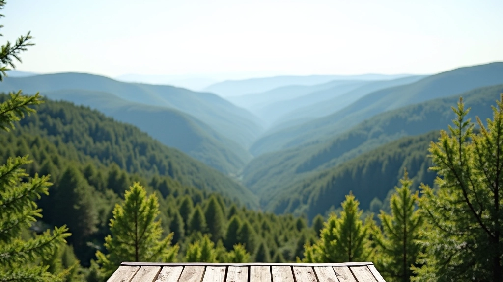
Moravian Karst Cave Approaches: Beginner’s Guide
Learn the main cave entrances, what to bring for underground exploration, and safety considerations for exploring this unique geological landscape.
Discover peaceful walks along the Svratka river with details on water levels, best seasons, and points of interest along the way.
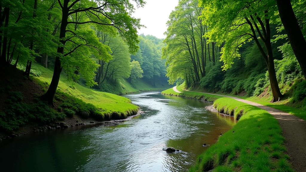
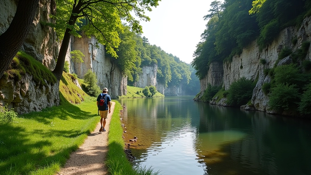
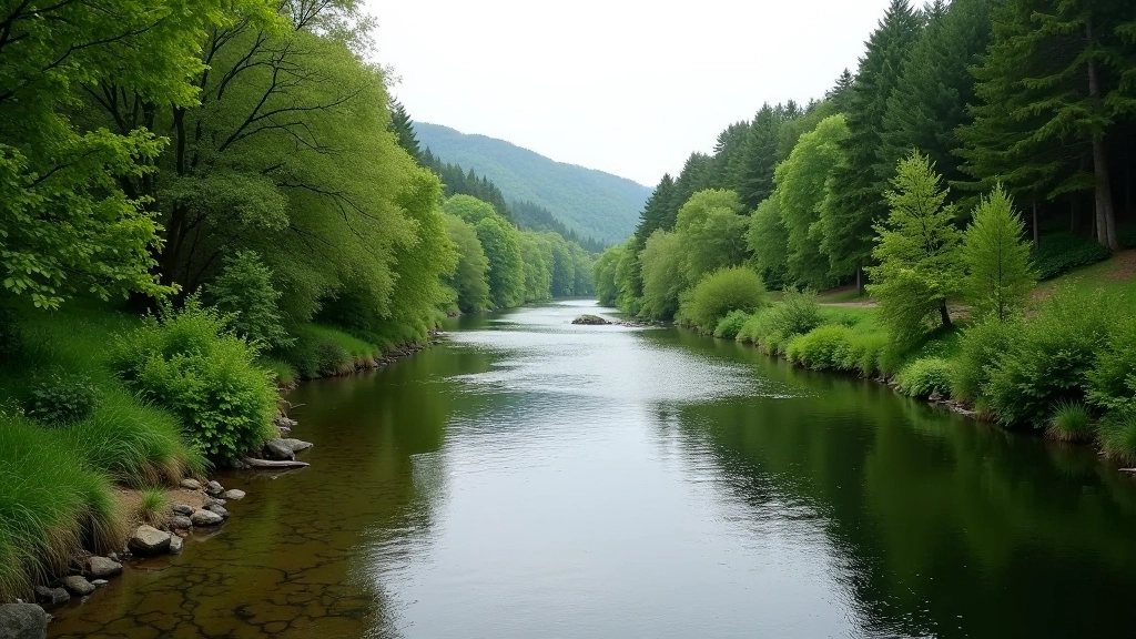
The Svratka river isn’t one of those dramatic alpine valleys you see in postcards. It’s something different — quieter, more intimate. The water winds through limestone formations and past small villages, creating routes that feel like you’ve discovered something locals have been enjoying for generations.
We’ve been exploring these paths for over a decade, and honestly, the Svratka works because it’s straightforward. The terrain follows the water mostly, which means you’re not constantly checking your map. Plus, there’s something calming about having a river as your constant companion — you can’t really get lost when you’ve got water telling you where to go.
Spring’s the tricky season. Snowmelt pushes water levels up between March and May, which means the riverside paths can get muddy and occasionally underwater depending on how much rain fell. It’s not dangerous — the Svratka doesn’t move fast enough to be threatening — but you’ll want proper boots.
Summer through early autumn is ideal. Water’s manageable, the vegetation’s thick enough to provide shade (you’ll need it in July and August), and the trails are packed but passable. We typically recommend late September through October if you want fewer people and stable conditions. Winter’s doable if you don’t mind cold feet, but icy patches appear regularly.
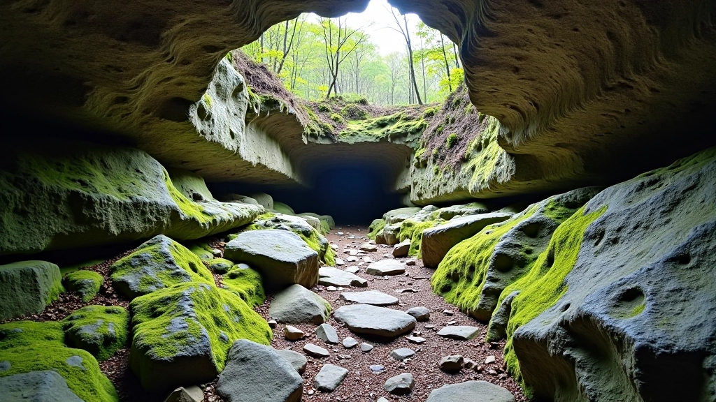
There’s a limestone quarry area about 3 kilometers in from the main parking area — it’s historical and honestly worth the detour. The exposed rock faces show the geology of the region clearly, and it’s a natural resting spot. Most people stop here for water and snacks.
The river bends sharply near Adamov village, which is about halfway through most popular routes. There’s a small café here if you need coffee or something to eat. Don’t expect fancy — it’s genuinely local, which makes it better in our opinion. From there, you can continue south toward Brno or loop back.
Wildlife’s consistent along the Svratka. You’ll see kingfishers if you’re quiet, and roe deer aren’t uncommon. The birds alone make the walk worthwhile — bring binoculars if you’re into that sort of thing.
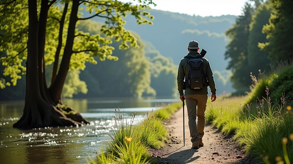
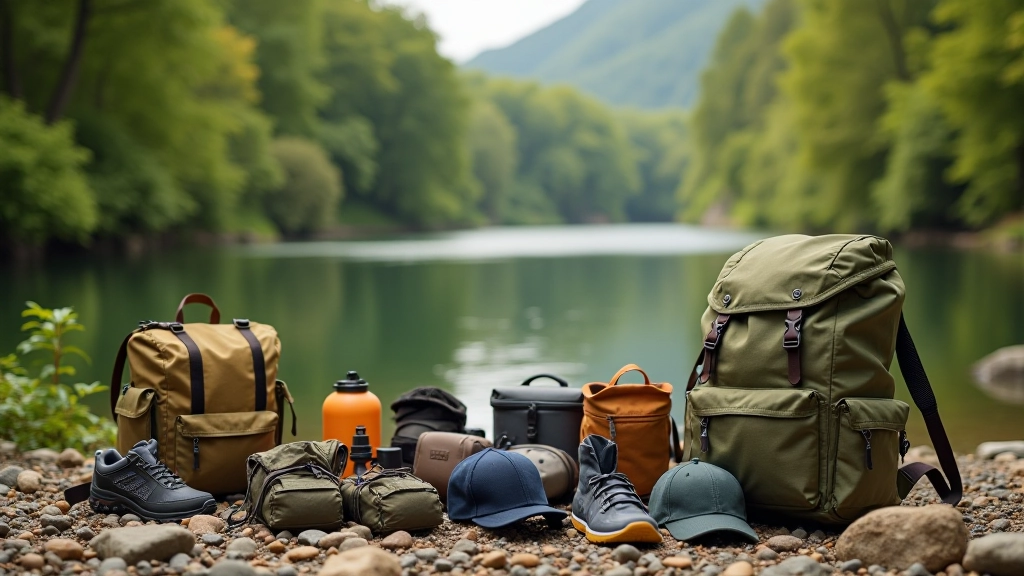
You don’t need fancy gear for the Svratka. Waterproof boots are legitimately important though — not hiking boots necessarily, just something that won’t let water in. The terrain’s gentle enough that regular hiking shoes work fine if conditions are dry, but we’ve seen people regret wearing trainers.
Water’s essential. There’s no reliable water source along the route, so bring at least 1.5 liters per person. The walk takes 3 to 4 hours depending on your pace and how many times you stop to look at things.
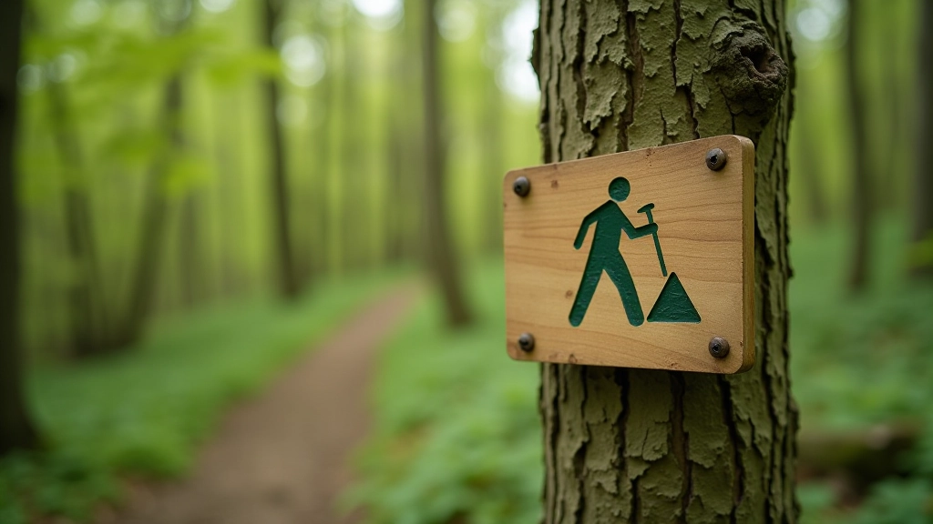
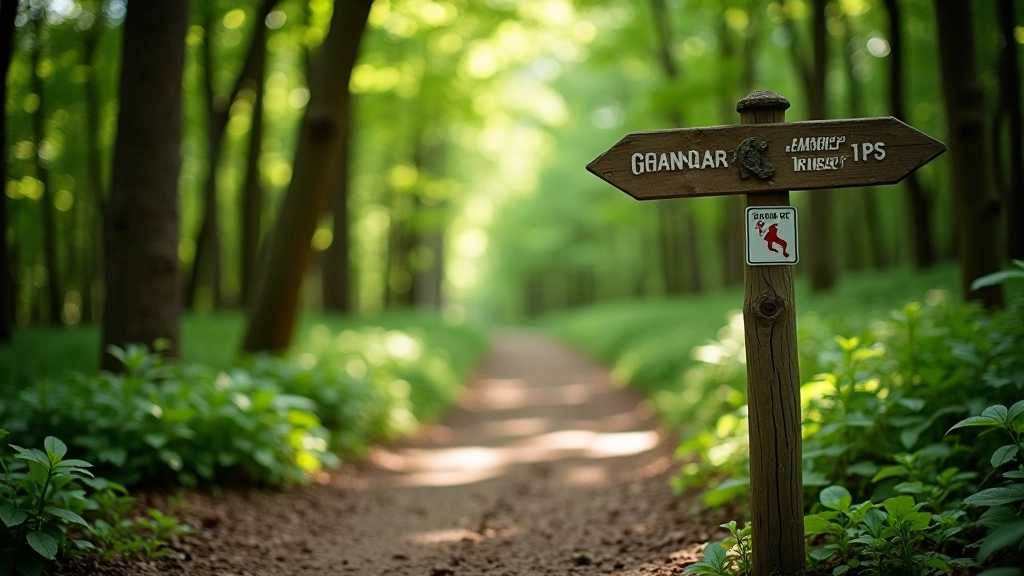
The Svratka routes are marked well. You’ll see blue and yellow markers on trees every 50-100 meters, which is plenty frequent. The main route hugs the river closely, so if you somehow miss a marker, just follow the water.
That said, there are several branching paths that lead to villages or secondary routes. Some of these aren’t as clearly marked. If you’re doing this for the first time, downloading an offline map on your phone is smart — not because you’ll get lost, but because you might want to take a detour and want to know where it leads.
Mobile signal’s decent along most of the route. We’ve got full coverage on most carriers, though there are a few dead spots in the middle sections. Don’t rely on it entirely for navigation.
This guide is informational and based on documented routes and seasonal conditions. Weather, water levels, and trail conditions change. Always check current conditions before heading out, particularly after heavy rain or during winter months. Wear appropriate footwear, bring sufficient water, and let someone know your planned route. The Svratka river area is generally accessible and safe for walkers of all abilities, but individual circumstances vary. Use this information as educational context, not as a guarantee of specific conditions.
The Svratka isn’t a place you summit or conquer. It’s a place you walk through, noticing things — the water sound, how the light changes, the way limestone reflects in the river. That’s what makes it special. You’re not pushing yourself or proving anything. You’re just moving alongside water in a landscape that’s been here for millennia.
Plan for 3-4 hours, bring water, wear decent boots, and go when the weather’s cooperating. Spring’s beautiful but muddy. Summer’s warm but busy. Autumn’s our preference — everything feels just right. Winter works if you don’t mind being cold.
You’ll likely see a handful of other walkers, maybe some families. The path’s wide enough that you won’t feel crowded. There’s something restorative about this route that keeps people coming back — not because it’s extreme or challenging, but because it’s genuinely pleasant. That’s enough.