Planning Your Podyjí Adventure
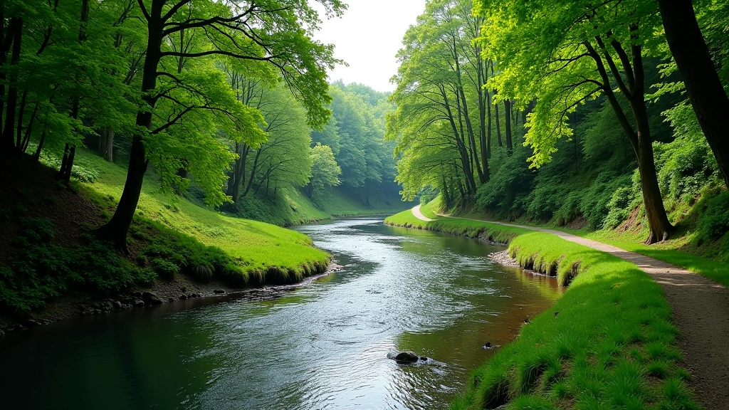
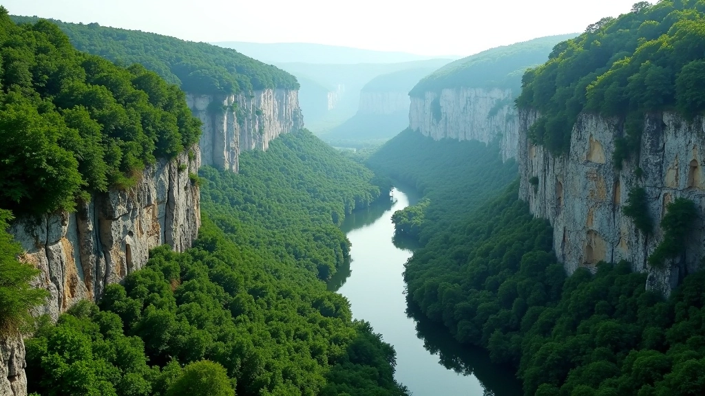
Podyjí National Park isn’t just another hiking destination. It’s a landscape carved by the Dyje River over millions of years, creating dramatic limestone cliffs, forested slopes, and winding valleys that’ll take your breath away. The park straddles the border between Czechia and Austria, and whether you’re tackling a gentle riverside walk or a challenging ridge route, you’ll need solid planning to make the most of it.
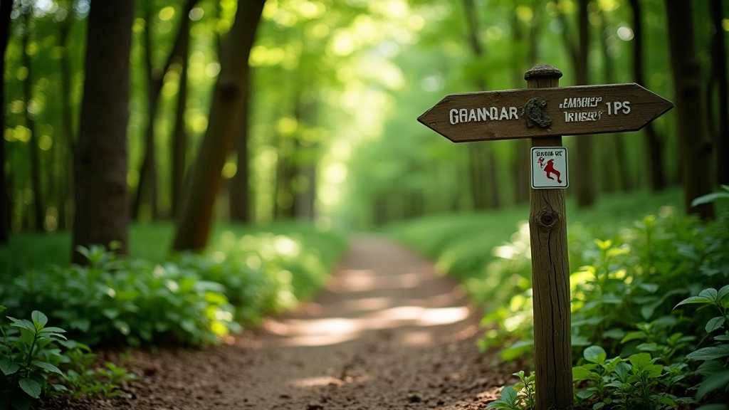
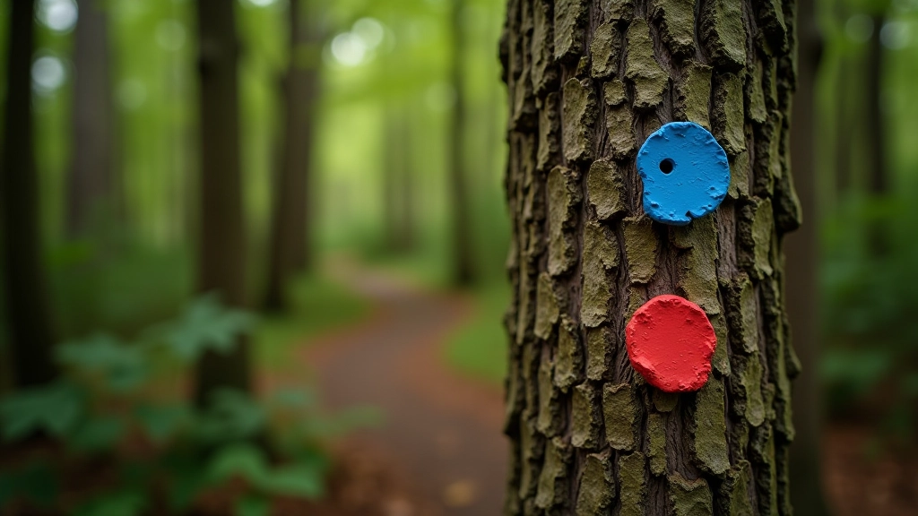
The good news? The park’s got excellent trail infrastructure. We’re talking well-marked paths, clear signage at junctions, and reliable information about current conditions. But here’s the thing — it’s easy to underestimate distances or overestimate your fitness level if you don’t know what you’re walking into. That’s exactly what we’re covering here.
Understanding the Trail System
Podyjí has roughly 60 kilometers of marked trails. Most of them fall into three difficulty categories that the park clearly labels. Blue markers mean easy — these are your flat riverside walks, mostly 4-7 kilometers, taking 1.5 to 2.5 hours. Red markers indicate medium difficulty, typically ranging from 8-15 kilometers with elevation gains of 200-400 meters. And then there’s black markers for advanced routes. These’ll push you. We’re talking 15-25 kilometers, serious elevation changes, and terrain that demands your full attention.
Here’s what actually matters though — the park maintains these trails year-round, which means spring muddy patches and autumn wet leaves are normal. Summer’s your safest bet for conditions, but crowds peak in July and August. Spring and fall offer quieter routes with equally stunning scenery.
Matching Routes to Your Fitness Level
Don’t just pick a trail because it looks nice on a map. Start by honestly assessing how far you’ve walked before and how you felt after. A blue trail like the Podyjí River Loop is genuinely doable for anyone who can walk for 2 hours. You’ll follow the river valley, the elevation changes are minimal, and you’ll see some of the park’s most stunning water views. Takes about 2.5 hours at a comfortable pace.
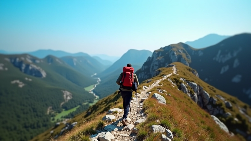
Red routes like the Dívčí Kámen Trail demand more from you. This one’s 12 kilometers with a 350-meter elevation gain, and while the views of the Dyje River gorge are incredible, you’ll feel it in your legs. Plan for 4-5 hours and bring proper footwear — those rocky sections aren’t forgiving if you’re not paying attention.
Black trails? Only tackle these if you’ve regularly hiked medium-difficulty routes. The Tichá Údolí Trail, for instance, is 18 kilometers with significant elevation changes and technical sections. You’re looking at 6-7 hours of solid hiking. This isn’t the route for casual weekenders.
Wildlife & Natural Features You’ll Encounter
The park’s a living ecosystem, not just pretty scenery. You’ll see roe deer regularly — they’re actually quite common and usually harmless unless you get between a doe and her fawns. Golden eagles soar above the cliffs. In summer, you might spot various snake species, though encounters are rare and they’ll avoid you if you give them the chance.
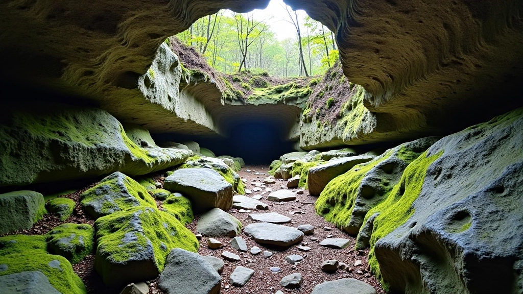
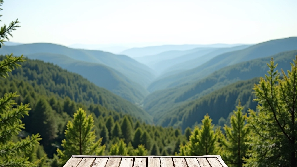
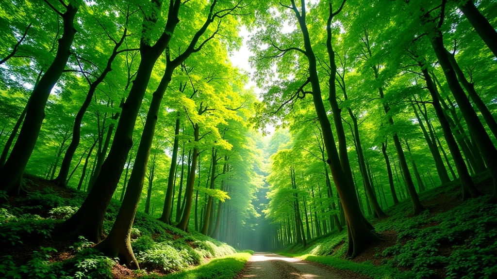
The limestone geology is the real story though. The Dyje River carved these gorges over thousands of years, creating sheer 100-meter cliffs in places. You’ll walk through beech and oak forests that change with elevation. In spring, the riverside meadows explode with wildflowers. It’s worth paying attention to the landscape, not just ticking off kilometers.
Pro tip: Bring binoculars if you’re into birdwatching. The park’s a significant migration corridor. Spring and fall bring species you won’t see elsewhere in the region.
Practical Route Planning Essentials
Get a Physical Map
Digital maps are useful, but you’ll want a paper map. The official 1:25,000 scale map from the Czech Tourism Board is detailed and reliable. It shows water sources, parking areas, and trail junctions clearly.
Check Current Conditions
The park’s official website updates trail conditions monthly. In spring, some sections can be muddy or partially flooded. Summer and early fall are most reliable. Don’t assume a trail is open just because it was last month.
Plan Water & Rest Points
There’s no water on most trails except at the start and near the river. Bring at least 2 liters. Identify rest spots on your map before you go — usually at viewpoints or junctions. This prevents that awful moment when you’re exhausted and don’t know how much further you’ve got.
Time Your Route Realistically
The park’s estimated times are usually conservative, which is good. But add 20 minutes per 100 meters of elevation gain if you’re not super fit. You’d rather finish early than be hiking in darkness.
Making the Most of Your Visit
Podyjí National Park rewards careful planning. You won’t stumble through here like some forest walk near home. The landscape demands respect and attention. But that’s exactly what makes it worth visiting. You’ll see limestone cliffs that took millions of years to form. You’ll walk through forests that have sheltered people for centuries. You’ll get genuine views, not just Instagram spots.
Start with a blue route if you’re new to the park. Get a feel for the terrain, the pace, the actual conditions. Then plan your next adventure on a red trail. Build up gradually. There’s no rush. The park’s been here a long time, and it’ll still be here next season.
Important Notice
This guide is for educational purposes and based on typical park conditions. Trail conditions, weather, and accessibility change seasonally and can vary significantly. Always check the official Podyjí National Park website for current conditions before your visit. We recommend bringing proper footwear, sufficient water, and a physical map. If you have medical conditions or limited hiking experience, consider hiring a local guide. Hiking involves inherent risks — weather changes quickly in mountainous areas, terrain can be challenging, and emergency services may take time to reach remote sections. Take responsibility for your own safety and that of your group.